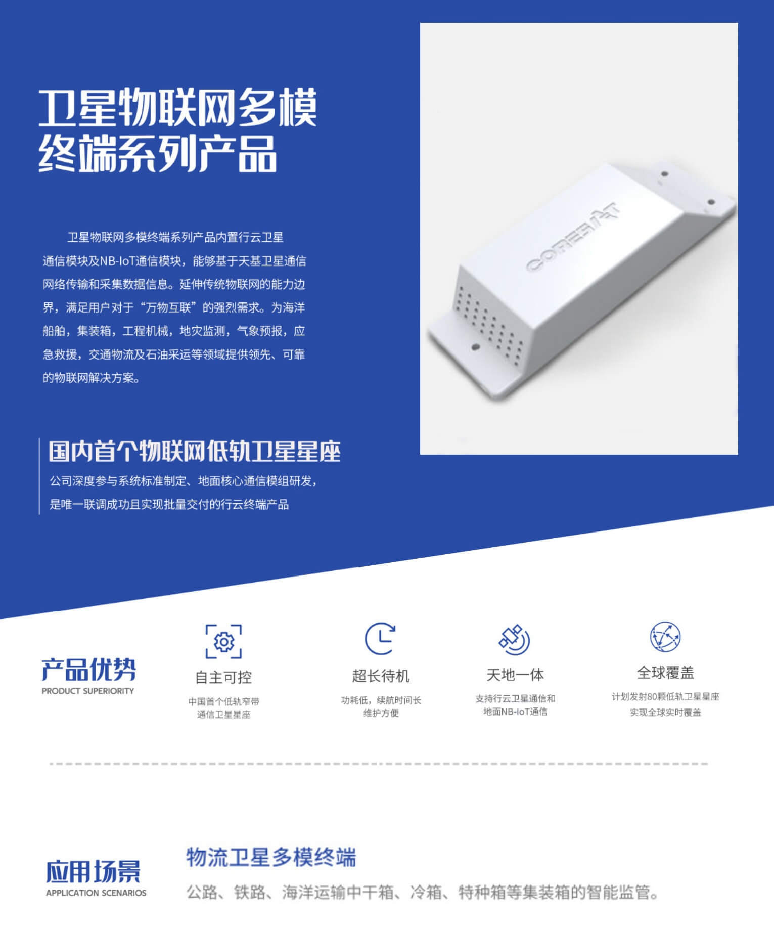
LEO Satellite IoT Ushers in Emergency Rescue Connectivity — CETIG industry digest.
Key Facts
- Satellites: 10 million
- Satellites: 30%
Why it matters
Maritime and water-area operations keep shifting toward intelligent, unmanned and data-driven response. CETIG builds integrated surface, underwater and aerial rescue systems — positioning, command & control and on-site intervention — so emergency teams can locate, reach and recover people faster.